What is virtual ranch management?
Virtual ranch management combines livestock location data, digital pasture boundaries and repeatable operating rules. A GPS collar reports each animal’s position to a mobile or web platform. Ranch teams can review movement, identify animals outside an assigned zone and build a history of how the herd uses water points, grazing areas and handling facilities.
The system design should begin with a practical question: which daily decision will location data improve? Examples include checking animals in distant paddocks, finding an animal that has stopped moving, confirming that a herd reached a new grazing zone or receiving an alert when livestock crosses a digital boundary.
Digital pasture zones
Map grazing cells, exclusion areas, water points and seasonal boundaries before configuring alerts.
Virtual fence workflows
Define alert stages, animal training procedures and a safe response when a boundary event occurs.
Movement exceptions
Use inactivity, escape and location alerts to focus attention on animals that need a physical check.
Route and grazing history
Review historical movement to support pasture planning and verify field operations.
A practical deployment framework
- 01Map ranch boundaries, topography, water points, handling areas and known network dead zones.
- 02Choose the reporting interval based on the decision speed you need and the battery life you expect.
- 03Start with a small pilot group and confirm collar fit, signal coverage and alert quality.
- 04Document who receives each alert and what action should follow.
- 05Expand only after the pilot produces reliable data across representative grazing conditions.
Products for virtual ranch management
Combine animal-worn devices, ranch connectivity and management software according to the terrain and operating objective.
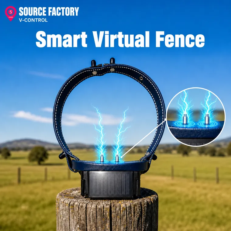
Audio and optional stimulus collar
GPS collar for staged boundary cues, location events and pasture control.
- Virtual fence events
- Audio and light alerts
- Optional stimulus control
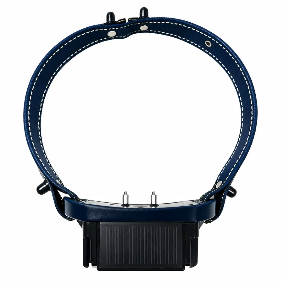
Solar livestock GPS collar
Long-life collar for live location, route history and geofence monitoring.
- 20,000 mAh + solar
- 4G and LoRaWAN options
- IP67 enclosure
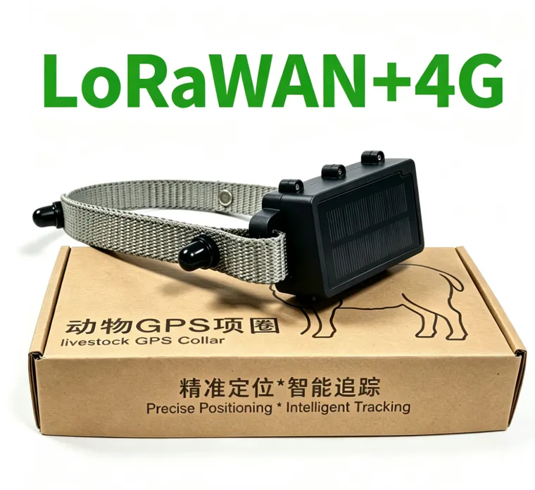
LoRaWAN + 4G collar system
Private pasture coverage with cellular backhaul for fixed ranch deployments.
- EU868 / US915 / AU915
- Gateway-based coverage
- Web and mobile platform
Virtual ranch solutions
Virtual fence pilot
Test boundary cues, animal response, collar fit and alert delivery with a small representative group.
Digital pasture monitoring
Map grazing zones, water points and exclusion areas with location history and movement reports.
Herd exception management
Focus staff attention on boundary crossings, inactivity, low battery and communication loss.
Virtual ranch management articles
Start with these technical guides, then expand the category with field results and project-specific procedures.
How Virtual Fencing Works for Cattle
GPS collars, boundary cues, connectivity, animal training and operating procedures.
Read article → PASTURE DESIGN · 6 MINDesigning Digital Pasture Zones for Livestock
Map hazards, buffers, grazing cells, alerts and real-world field validation.
Read article → DEPLOYMENT · 7 MINVirtual Ranch Management Deployment Checklist
Plan coverage, pilot testing, training, cost review and full-herd rollout.
Read article →